Canvas GIS Advanced (Mac) 9.0.4
CANVAS 9 Advanced GIS Mapping Edition: Direct support for Geographic Information System data. You can take measurements in geographic coordinates, import any popular GIS file types into unlimited numbers of automatically aligned overlapping layers.
Last update
22 Oct. 2008
Licence
Free to try |
$999.95
OS Support
Mac
Downloads
Total: 392 | Last week: 0
Ranking
#185 in
Graphics Tools
Publisher
Acd Systems International Inc.
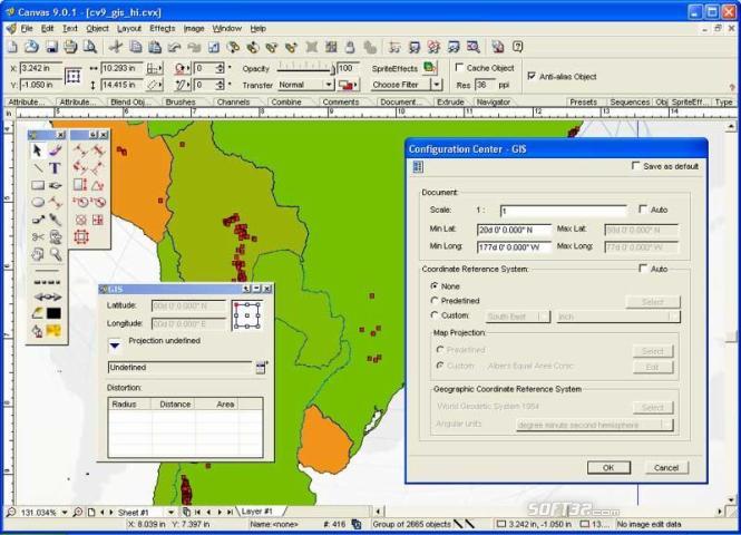
Screenshots of Canvas GIS Advanced (Mac)

Canvas GIS Advanced (Mac) Publisher's Description
The CANVAS 9 Advanced GIS Mapping Edition adds native support for Geographic Information System (GIS) data to Canvas. You can take measurements in geographic coordinates, import industry standard SHAPE and GeoTIFF files into unlimited numbers of automatically aligned overlapping layers and choose among the following options:
�2,104 Coordinate Reference Systems
�67 Operation Methods (like Mercator, Albers Conic Equal Area�)
�1,052 Map Projections
�302 Geodetic Datums
�21 Angular units
�45 Length units
The CANVAS 9 Advanced GIS Mapping Edition bridges the gap between dedicated GIS analysis software and generic "DTP" software. For many applications CANVAS 9 Advanced GIS Mapping Edition can now replace programs costing thousands. For the rest, CANVAS 9 GIS Mapping Edition is now the preferred "last mile" publishing companion to dedicated GIS analysis software.Files Supported include:
oMapInfo oARC/INFO oUSGS Digital Line Graphs oTIGER(Census) oMrSID (Win. only) oGML (Geography Markup Language) oSDTS (USGS Spatial Data Transfer Standard) oGIS Text oGarmin (GPS) oECW (Enhanced Compressed Wavelet Images oS57 (IHO International Hydrographic Organization)
What's New in Version 9.0.4 of Canvas GIS Advanced (Mac)
Expanded GIS platform support, enables you to read & write in various Geo-Science formats
Look for Similar Items by Category
Feedback
- If you need help or have a question, contact us
- Would you like to update this product info?
- Is there any feedback you would like to provide? Click here
Popular Downloads
-
 Windows XP Service Pack 3
SP 3
Windows XP Service Pack 3
SP 3
-
 Iggle Pop
1.0
Iggle Pop
1.0
-
 Zuma Deluxe
1.0
Zuma Deluxe
1.0
-
 Minecraft
1.8.1
Minecraft
1.8.1
-
 Mozilla Firefox
108.0...
Mozilla Firefox
108.0...
-
 Antares Autotune VST
7.1.2...
Antares Autotune VST
7.1.2...
-
 WhatsApp Messenger
0.2.1880
WhatsApp Messenger
0.2.1880
-
 Age of Empires
1.3.1
Age of Empires
1.3.1
-
 Call of Duty 4: Modern Warfare
1.7.1
Call of Duty 4: Modern Warfare
1.7.1
-
 Adobe Audition
CC
Adobe Audition
CC
-
 Adobe Illustrator
CC
Adobe Illustrator
CC
-
 Microsoft PowerPoint 2010
10.1.9
Microsoft PowerPoint 2010
10.1.9
-
 Outlook Express
5.0.6
Outlook Express
5.0.6
-
 Adobe Photoshop Lightroom
5.6
Adobe Photoshop Lightroom
5.6
-
 Sylenth1
2.2
Sylenth1
2.2
-
 Windows 7 (SP1 included)
7
Windows 7 (SP1 included)
7
-
 7-Zip
1.7.1
7-Zip
1.7.1
-
 BitTorrent
7.4.3...
BitTorrent
7.4.3...
-
 Adobe After Effects
CS6
Adobe After Effects
CS6
-
 Adobe Premiere Pro
14.3.0.38
Adobe Premiere Pro
14.3.0.38